


COM.BigData 2014
COM.DriverlessCar 2014
COMGEO 2013 mobile app
is available
now to download from the Android marketplace's
Google Play site.
Message from General Chair
Plenary Forum -- Emerging Tech Panels+: Geospatial Computing: An Eye Towards the Future
Google Keynote: Big Data Storytelling through Interactive Maps
COM.Geo OfficeMap TechShow
Save Time and Achieve the Best Map Results for MS Office!
Microsoft Keynote: A Fresh Look at Mobile Location Sensing
Microsoft CLEO TechShow: Energy Efficient GPS Sensing with Cloud Offloading
NASA Workshop: Worldwide Geospatial Data Collaboration
NASA TechShow: Collaborate.org- Connect. Share. Change the World.
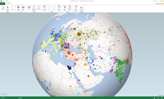
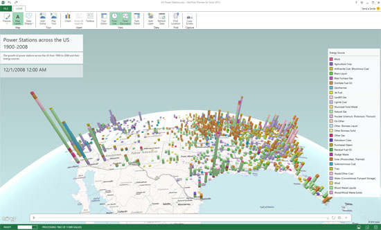
Microsoft Keynote Insight: WorldWide Telescope Inspiring GeoFlow for Office Excel 2013
IFTF Keynote: Unexplored 3D Worlds: The Futures of Focal Plane GIS
OGC Keynote: OGC Standards and Big Data Analytics
OGC Workshop : Location Based Access Control on Geospatial Data with GeoXACML policies
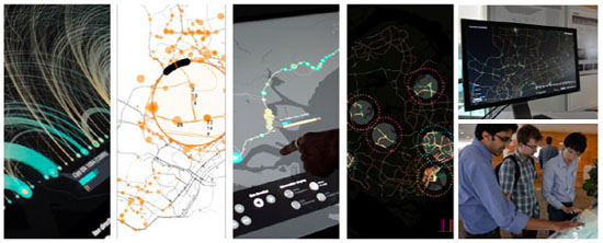
MIT TechShow: Visual Explorations of Urban Mobility


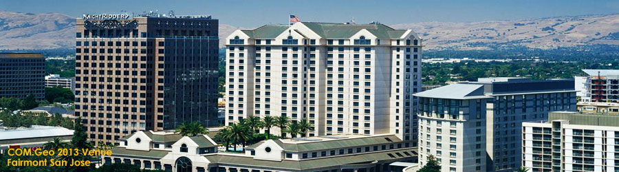
A Geospatial Technology Conference in Silicon Valley
COM.Geo hosted another great conference this year in Silicon
Valley!
The diversity of geospatial topics addressed by keynote speakers and audience members was enlightening to us all.
The attendees' presence and thoughtful contributions during
speaker presentations and the panel discussion made the event a
success.
Observing trends in new geospatial technology between members of academia, developers, researchers, scientists, and government inspired cross-collaboration among conference attendees. We are confident this exchange of new ideas between interdisciplinary fields will result in future advancement and integration of geospatial technology into society.
The topics discussed in this year’s conference, including innovations in Big Data applications, improving energy costs of location-based services, addressing future impacts and challenges in remote sensing and mapping, WorldWide Telescope, Google Fusion Tables, and NASA World Wind fostered new perspectives about applications of geospatial technology to address global challenges and will inspire further innovation.
Read more in the original article by Jordyn Fantuzzi >>
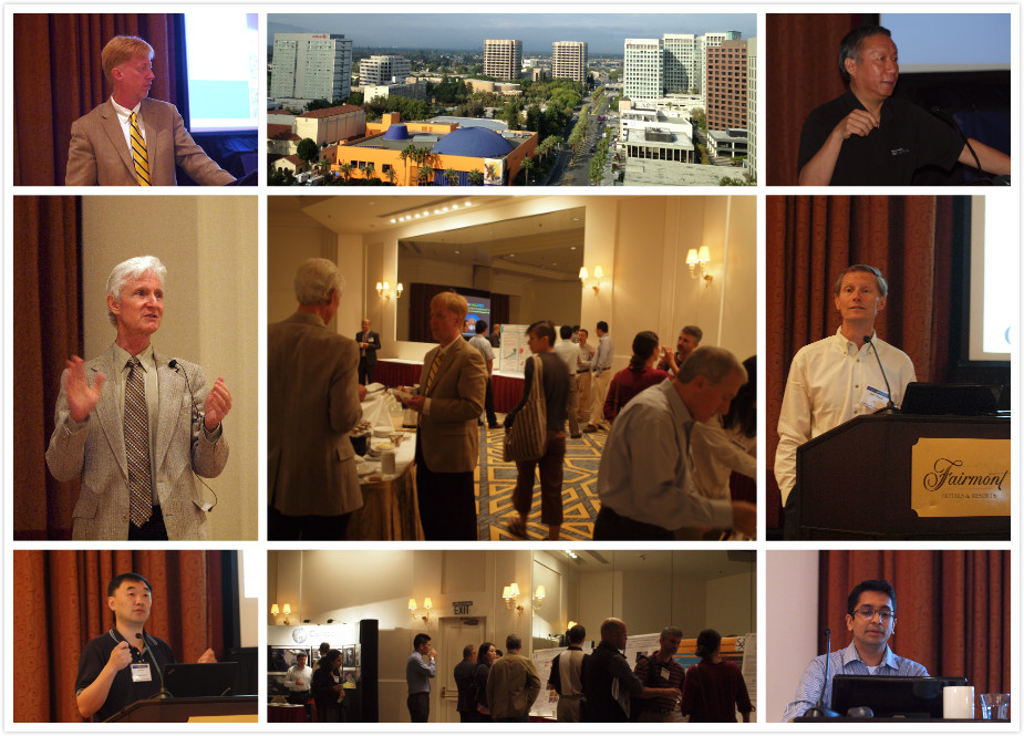
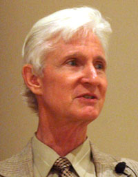
 IFTF Distinguished Fellow Mike Liebhold demonstrates the latest
research tool at the 4th International Conference on Computing for
Geospatial Research & Application (COM.Geo 2013) in San Jose.
IFTF Distinguished Fellow Mike Liebhold demonstrates the latest
research tool at the 4th International Conference on Computing for
Geospatial Research & Application (COM.Geo 2013) in San Jose.
Read more>>
|
OGC
|
IFTF
|
NASA
|
Microsoft Research
|
||
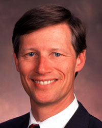
Dr. Carl Reed
CTO
OGC |
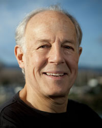
Mr. Mike Liebhold
Senior Researcher
Distinguished Fellow Institute for the Future |
Mr. Patrick Hogan
World Wind Manager
NASA |
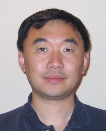
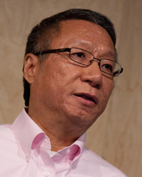
Dr. Jie
Liu
Principal Researcher &
SERG Manager Microsoft Research |
||
|
Microsoft
|
Stanford
|
Google
|
COM.Geo
|
||
Mr. Curtis Wong
Principal Researcher
Microsoft Research |

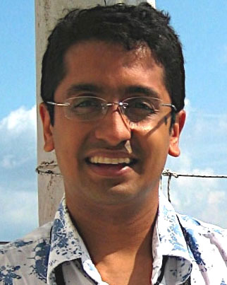
Dr. Kevin Montgomery
CEO, Intelesense Tech
Sr. Researcher, Stanford |
Dr.
Jayant Madhavan
Tech Lead for Google Fusion Tables; Staff Software
Engineer at Structured Data Research Group
|
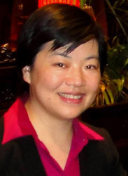
Dr.
Lindi Liao
President & Chief Scientist
COM.Geo 2013 General Chair |
The COM.Geo conference highlights the impacts of
current and prospective computing technologies on the future
of the geo-world. Our consideration is intended to bring fresh
thoughts to explore new directions for geospatial computing...
Read more>>
Geospatial Computing: An Eye Towards the Future
Moderator
Dr. Lindi Liao, President & Chief Scientist,
Computing for Geospatial Research Institute
 Panelists
Dr. Carl Reed, CTO, OGC
Dr. Jayant Madhavan, Tech Lead for Google Fusion Table; Staff Software Engineer at Structured Data Research group,,
Google Inc.
Mr. Mike Liebhold, Senior Researcher, Distinguished Fellow,
Institute for the Future
Mr. Patrick Hogan, NASA World Wind Program Manager,
NASA
Dr. Kevin Montgomery, CEO, Intelesense
Technologies, Inc.; Sr. Researcher,
Stanford University
Dr. Simon Y. Berkovich, Senior Advisor, Computing for
Geospatial Research Institute; Professor of Computer
Science, George Washington University
Read more>>
Google Fusion Tables (GFT) is often used by data journalists to create interactive maps that are then embedded in their news articles. These maps offer journalists the ability to overlay large geo-spatial datasets on Google Maps, customize their presentation and combine them with complementary datasets, without needing any software development skills beyond cut-and-paste. More importantly... Read more >>
Save Time and Achieve the Best Map Results for MS Office!
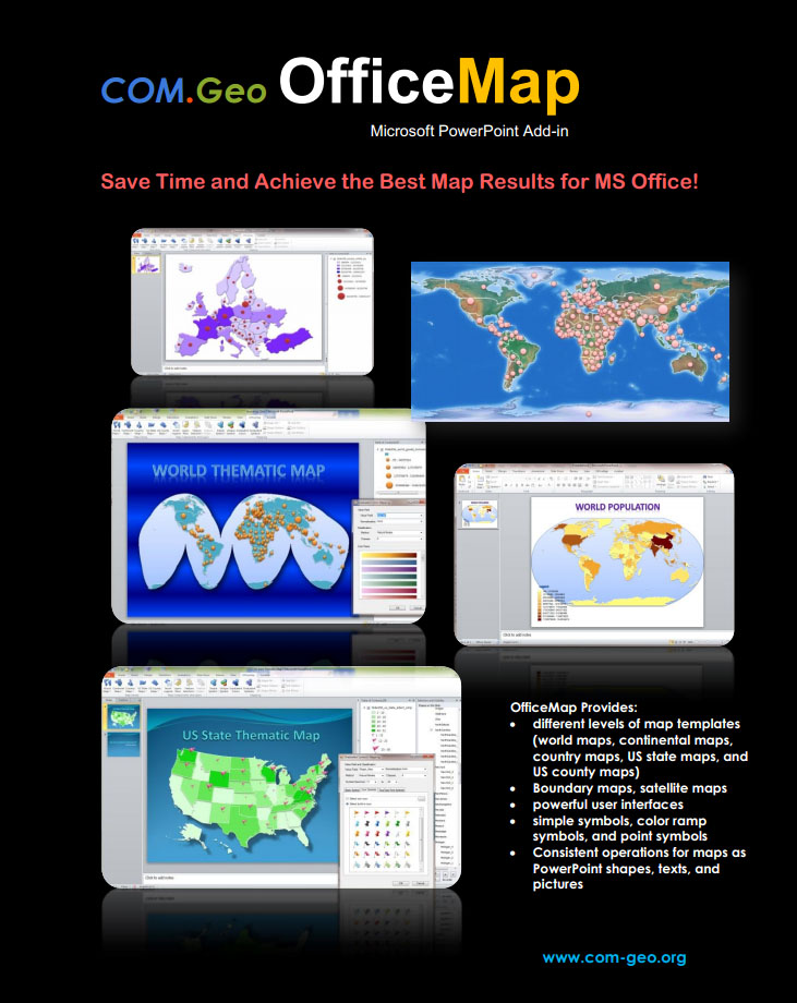 COM.Geo
OfficeMap is the latest Microsoft PowerPoint Add-in. It provides a
fast and easy way to directly create various kinds of maps on PowerPoint
slides. OfficeMap offers:
COM.Geo
OfficeMap is the latest Microsoft PowerPoint Add-in. It provides a
fast and easy way to directly create various kinds of maps on PowerPoint
slides. OfficeMap offers:
• categorized map templates (world maps, continental maps,
country maps, US state maps, and US county maps)
• Boundary maps, satellite maps
• a friendly and powerful user interface
• simple symbols, color ramp symbols, and point symbols (markers,
icons, fonts)
• Consistent operations for maps as PowerPoint shapes, texts, and
pictures. Read more >>
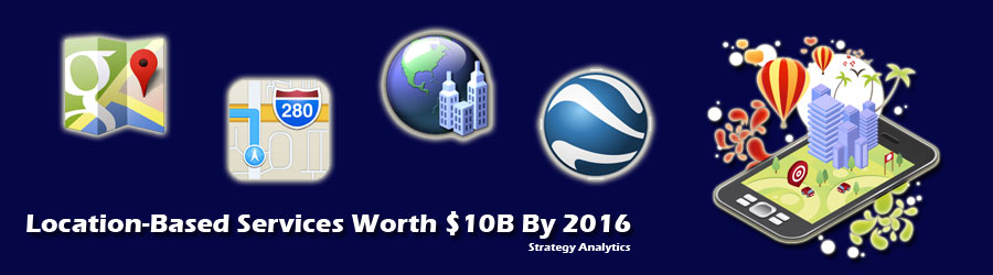
Location-based services have become ubiquitous thank to the sensors like GPS and WiFi in our smart phones and other mobile devices. However, continuous location sensing such as logging, tracking, and geo-fencing, consume too much energy and shorten device battery life. In this talk, we take a fresh look at location sensing, in both outdoor and indoor settings... Read more >>
Location is a fundamental service for mobile computing. Typical GPS receivers, although widely available, consume too much energy to be useful for many applications. Microsoft Research CLEO team designs a Cloud-Offloaded GPS (CO-GPS) solution that allows a sensing device to aggressively duty-cycle its GPS receiver and log just enough raw GPS signal for postprocessing... Read more >>
As we look to the future, humankind faces challenges that are increasing, while our resources are ever dwindling. What if we could integrate our data and leverage our shared resources? What if we could harness our shared knowledge and enthusiasm? How would the world be impacted if such a shared, global collaboration and geospatial infrastructure were available?... Read more >>
In the future, we need to work together to address the challenges and need a collaboration and geospatial data infrastructure to empower that synergy, leverage our shared resources, and coordinate our actions. Collaborate.org is an open global online community of people, working together and sharing resources, expertise and enthusiasm, empowered with advanced collaboration and geospatial visualization technologies, to empower people to do Great Things. Read more >>
In this talk we explore some future impacts and challenges of combinatorial innovations in sensing, mapping and rendering and computing technologies enabling humans and machines to intimately interact with rich 3D geospatial data in a vertical focal plane view. Read More>>
OGC Keynote: OGC Standards and Big Data AnalyticsThis talk will explore the use of Open Geospatial Consortium (OGC) standards in the context of Big Data requirements and analytics for accessing and processing geospatially-enabled content, especially for geospatial information and sensor fusion, as well as some key issues, such as provenance, quality, security and privacy, facing the use of geospatial data in Big Data applications. Read More>>
WorldWide Telescope Inspiring GeoFlow for Office Excel 2013
This talk will cover some of the key ideas within WorldWide Telescope (WWT) and how they are relevant to interactive geospatial data visualization and the development of ideas within GeoFlow for Office Excel 2013 which is now in public beta preview. Read More>>
Location Based Access Control on Geospatial Data with GeoXACML Policies
Many different types of high quality and up-to-date geospatial information are available from different providers. Often, Intranet solutions exist where trusted users can access information with very few access constraints. In contrast, making information available to users outside of a trusted environment requires the implementation of many security requirements of which Access Control is paramount. Read more >>
▪ Be the first to learn
about the latest Microsoft geospatial exploration -- GeoFlow in the
upcoming Microsoft Excel 2013.
▪ Attend brainstorm plenary keynotes,
leading-edge forum, and emerging tech shows from U.S. governments, world-class
industries and research labs.
▪ Discover the latest technologies
in geospatial computing with big data computing, mobile & cloud
computing, Internet of Things (IoT), Augmented Reality, social computing,
and GPU computing.
▪ Explore diverse workshops, technical
papers, panels, exhibits, posters, demonstrations, and hot short talks.
And more...
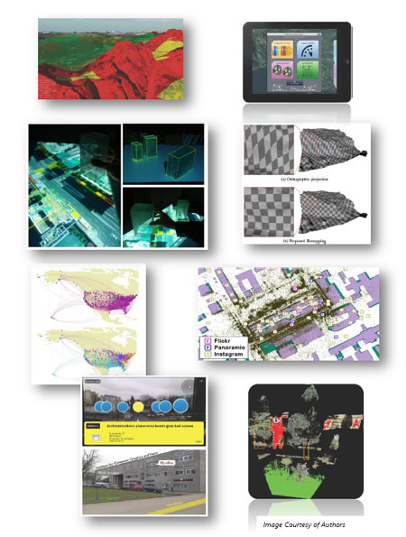
Image Based Localization in Indoor Environments
J. Liang, N. Corso, E. Turner, A. Zakhor. EECS Department,
University of California - Berkeley, USA
Engaging Outdoor User Experience Based
on High Fidelity 3D Terrain Representation on Mobile Apps
U. Di Staso, M. Soave, R. Amicis. Fondazione Graphitech Trento,
Italy
Geospatial Management and Utilization
of Large-Scale Urban Visual Reconstructions
C. Arth, J. Ventura, D. Schmalstieg. Institute for Computer
Graphics & Vision, Graz University of Technology, Austria
Superpixel Clustering and Planar Fit
Segmentation of 3D LIDAR Point Clouds
H. Mahmoudabadi, T. Shoaf, M.J. Olsen. Oregon State University,
USA
Out-of-core Efficient Blending for Underwater
Georeferenced Textured 3D Maps
M. Johnson-Roberson, M. Bryson, B. Douillard, O. Pizarro, S. Williams.
University of Sydney, Australia